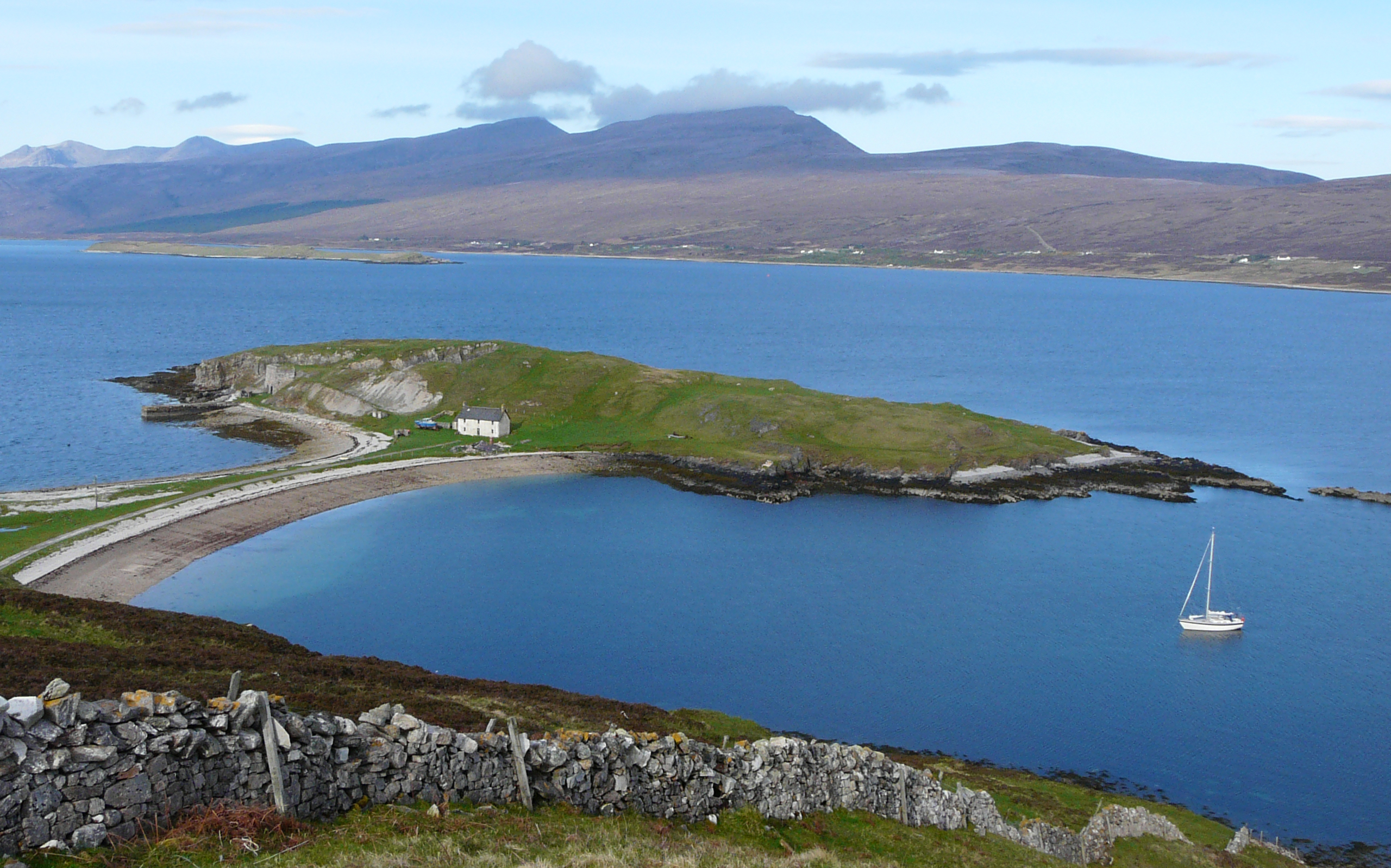
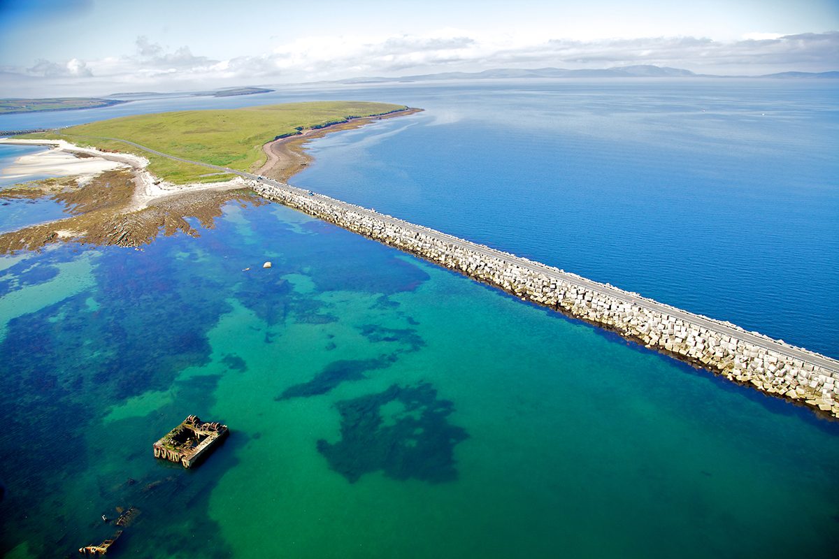
The Viking Trail is a beautiful and accessible route linking the stunning West Coast of Scotland through the Caledonian Canal to the world-class cruising areas in the North of Scotland and the Orkney and Shetland Isles. This can be done as one spectacular cruise, or as a series of smaller cruises, leaving the yacht at one of the marinas along the route.
You’ll find truly unspoilt waters, abundant wildlife, historical sites and a full Scottish larder with fresh local produce and whisky distilleries dotted along the trail.
Inverness, the Highland capital, is a vibrant city located at the top of the Great Glen. The Cairngorms National Park, Loch Ness, the Black Isle and Fort George are all on its doorstep. Head through the Moray Firth and see the resident school of bottlenose dolphins as you follow the Vikings north to Wick, a heritage town in Caithness. Once part of the combined kingdom of Norway and Denmark, Caithness boasts vast white sandy beaches, historic castles, brochs, and the Old Pulteney Distillery among its many attractions. Sail across the Pentland Firth and through historic Scapa Flow to the Orkney Islands.
There are around 70 islands to be explored, each with its own character. See the world-renowned archaeological sites, soak in the local culture at one of the many local festivals, discover a wealth of wartime history or simply enjoy the peace and quiet. Further north, the Shetland Islands have more than 1600 miles of coastline with dramatic cliffs, natural harbours and well-equipped landing points for the adventure sailor. For those wishing to circumnavigate Scotland, then they can return via the west coast around Cape Wrath or of course the trail can be done beginning this way in the other direction.
A friendly welcome awaits you all along the trail; staff at the marinas work together and are happy to share their local knowledge and assist you with accurate passage planning through the various tidal gateways around the North coast and through to the Orkney and Shetland Islands. The Norwegian West coast is only two days away, and links between the Northern Isles and their Scandinavian neighbours are strong. The trail is a great starting point for cruising in Norway, Sweden and Denmark, and the Northern Isles offer the perfect landfall for visiting sailors from Scandinavia. Pentland Firth Passage Planning (AC 2162, 2581) This potentially dangerous channel should only be attempted with moderate winds (less than F4), good vis, no swell and a fair np tide. In such conditions it presents few problems.
A safe passage depends on a clear understanding of tidal streams and correct timing. The Admiralty Tidal Stream Atlas for Orkney and Shetland (NP 209) gives large scale vectors and is essential. Even in ideal conditions the races off Duncansby Hd, Swilkie Pt (N end of Stroma), and Rks of Mey (Merry Men of Mey) must be avoided as they are always dangerous to small craft. Also avoid the Pentland Skerries, Muckle Skerry, Old Head, Lother Rock (S Ronaldsay), and Dunnet Hd on E-going flood. For passages across the Firth see CCC SDs for Orkney. At E end the Firth is entered between Duncansby Hd and Old Hd (S Ronaldsay), between which lie Muckle Skerry and the Pentland Skerries. Near the centre of Firth are the Islands of Swona (N side) and Stroma (S side). Outer Sound (main chan, 2.5M wide) runs between Swona and Stroma; Inner Sound (1•5M wide) between Stroma and the mainland. Rks of Mey extend about 2ca N of St John’s Pt. The W end of the Firth is between Dunnet Hd and Tor Ness (Hoy). Tide flows strongly around and through the Orkney Islands.
The Pentland Firth is a dangerous area for all craft, tidal flows reach 12 knots between Duncansby Head and S Ronaldsay. W of Dunnet Hd and Hoy is less violent. There is little tide within Scapa Flow. Tidal streams reach 8-9kn at sp in the Outer Sound, and 9-12kn between Pentland Skerries and Duncansby Hd. The resultant dangerous seas, very strong eddies and violent races should be avoided by yachts at all costs. The E-going stream begins at HW Aberdeen + 0500, and the W-going at HW Aberdeen – 0105. Duncansby Race extends ENE towards Muckle Skerry on the SE-going stream, but by HW Aberdeen – 0440 it extends NW from Duncansby Hd. Note: HW at Muckle Skerry is the same time as HW Dover. A persistent race off Swilkie Pt, at N end of Stroma, is very dangerous with a strong W’ly wind over a W-going stream.
The most dangerous and extensive race in the Firth is Merry Men of Mey. It forms off St John’s Pt on W-going stream at HW Aberdeen – 0150 and for a while extends right across to Tor Ness with heavy breaking seas even in fine weather. Passage Westward: This is the more difficult direction due to prevailing W winds. Freswick B, 3•5M S of Duncansby Hd, is a good waiting anch; here an eddy runs N for 9 hrs. Round Duncansby Hd close in at HW Aberdeen –0220, as the ebb starts to run W. Take a mid-course through the Inner Sound to appr the Rks of Mey from close inshore. Gills Bay is a temp anch if early; do not pass Rks of Mey until ebb has run for at least 2 hrs. Pass 100m N of the Rks (awash).
Passage Eastward: With a fair wind and tide, no race forms and the passage is easier. Leave Scrabster at local LW+1 so as to be close off Dunnet Hd not before HW Aberdeen +0340 when the E-going flood starts to make. If late, give the Hd a wide berth. Having rounded the Rks of Mey, steer S initially to avoid being set onto the rky S tip of Stroma, marked by unlit SCM bn. Then keep mid-chan through the Inner Sound and maintain this offing to give Duncansby Hd a wide berth.  Pentland Firth to Cape Wrath Passage Planning (AC 1954) Dunnet B, S of Dunnet Hd (lt) gives temp anch in E or S winds, but dangerous seas enter in NW’lies. On W side of Thurso B is Scrabster sheltered from S and W. Between Holborn Hd and Strathy Pt the E-going stream begins at HW Ullapool –0150, and the W-going at HW Ullapool + 0420, sp rates 1•8kn. Close to Brims Ness off Ushat Hd the sp rate is 3kn, and there is often turbulence. SW of Ushat Hd the Dounreay power stn is conspic, near shore. Dangers extend 2½ca seaward off this coast.
Along E side of Strathy Pt (lt) an eddy gives almost continuous N-going stream, but there is usually turbulence off the Pt where this eddy meets the main E or W stream. Several small bays along this coast give temp anch in offshore winds, but should not be used or approached with wind in a N quarter. Kyle of Tongue is entered from E through Caol Raineach, S of Eilean nan Ron, or from N between Eilean Iosal and Cnoc Glass. There is no chan into the kyle W of Rabbit Is, to which a drying spit extends 0•5M NNE from the mainland shore. Further S there is a bar across entrance to inner part of kyle. There are anchs on SE side of Eilean nan Ron, SE side of Rabbit Is, off Skullomie, or S of Eilean Creagach off Talmine. Approach to the latter runs close W of Rabbit Islands, but beware rks to N and NW of them. Loch Eriboll (AC 2076) provides secure anchs, but in strong winds violent squalls blow down from mountains.
Eilean Cluimhrig lies on W side of entrance; the E shore is fringed with rks up to 2ca offshore. At White Hd (lt) the loch narrows to 6ca. There are chans W and E of Eilean Choraidh. Best anchs in Camas an Duin (S of Ard Neackie) or in Rispond B close to entrance (but not in E winds, and beware Rispond Rk which dries). The coast to C Wrath is indented, with dangers extending 3ca off the shore and offlying rks and Is. Once a yacht has left Loch Eriboll she is committed to a long and exposed passage until reaching Loch Inchard. The Kyle of Durness is dangerous if the wind or sea is onshore.
Give Cape Wrath a wide berth when wind-against-tide which raises a severe sea. A firing exercise area extends 8M E of C. Wrath, and 4M offshore. When in use, R flags or pairs of R lts (vert) are shown from E and W limits, and yachts should keep clear.  Orkney Islands Passage Planning (AC 2249, 2250) The Islands are mostly indented and rocky, but with sandy beaches especially on NE sides. Pilotage is easy in good vis, but in other conditions great care is needed since tides run strongly. For details refer to Clyde Cruising Club’s Orkney Sailing Directions and the Admiralty Tidal Atlas NP 209. When cruising in Orkney it is essential to understand and use the tidal streams to the best advantage, avoiding the various tide races and overfalls, particularly near sp.
A good engine is needed since, for example, there are many places where it is dangerous to get becalmed. Swell from the Atlantic or North Sea can contribute to dangerous sea conditions, or penetrate to some of the anchorages. During summer months winds are not normally unduly strong, and can be expected to be Force 7 or more on about two days a month. But in winter the wind reaches this strength for 10-15 days per month, and gales can be very severe in late winter and early spring. Cruising conditions are best near midsummer, when of course the hours of daylight are much extended. Stronsay Firth and Westray Firth run SE/NW through the group.
The many good anchs include: Deer Sound (W of Deer Ness); B of Firth, B of Isbister, and off Balfour in Elwick B (all leading from Wide Firth); Rysa Sound, B of Houton, Hunda Sound (in Scapa Flow); Rousay Sound; and Pierowall Road (Westray). Plans for some of these are on AC 2622. There is a major oil terminal and prohibited area at Flotta, on the S side of Scapa Flow. Tide races or dangerous seas occur at the entrances to most of the firths or sounds when the stream is against strong winds. This applies particularly to Hoy Sound, Eynhallow Sound, Papa Sound (Westray), Lashy Sound, and North Ronaldsay Firth. Also off Mull Head, over Dowie Sand, between Muckle Green Holm and War Ness (where violent turbulence may extend right across the firth), between Faraclett Head and Wart Holm, and off Sacquoy Hd. Off War Ness the SE-going stream begins at HW Aberdeen + 0435, and the NW-going at HW Aberdeen – 0200, sp rates 7kn. 